
Historical Preservation - Digital Aerial Photo Image Server
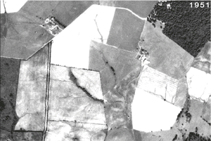 The Montgomery County, Maryland Department of Technology and Enterprise Business Solutions - Geographic Information Systems (TEBS-GIS) team, in cooperation with the Montgomery County Archives (MCA), developed the Digital Aerial Photo Image Server (DAPIS) to scan and archive original aging photos and to enable the public (customers) to locate, display, download, and print archived high-resolution digital aerial photo or ortho-photo images over the Internet. Multi-resolution Seamless Image Database (MrSID) software, developed by Lizardtech, Inc., and GIS software, developed by Environmental Systems Research Institute (ESRI), were used to prepare and to serve available archived digital photos from 1951, 1970, 1979, 1993-1996, 1998, 2000, and 2002.
Microsoft’s Active Server Page (ASP) technology was used to create a web-based aerial photo map index application to enable customers to find and select a photo by map grid on the digital image archive server. An image viewer is used to display selected digital images and allows customers to adjust zoom scale and image size. Customers can also print or download the photo image using their web browser. Additional image viewers are also provided to enable the customer to better display, pan, and zoom about the photo image. DAPIS can be accessed by visiting the Montgomery County Government GIS web site.