
Historical Image Map Viewer
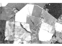 The Historical Image Map Viewer enables visitors to locate, display, download, and print archived high-resolution digital aerial photo or ortho-photo images. Multi-resolution Seamless Image Database (MrSID) software, developed by Lizardtech, Inc., and GIS software products ( ESRI & Blue Marble), were used to prepare and serve available archived digital photos from various years.
The following Montgomery County Departments and Municipalities contributed funds for the purchase of the orthophoto products over the years.