
Floodplain Delineation Study Approval Process
The purpose of a Floodplain Delineation Study is to establish the limits of the Floodplain District within or near proposed construction activity or development when an acceptable delineation does not already exist, or when proposed development may change an existing delineation.
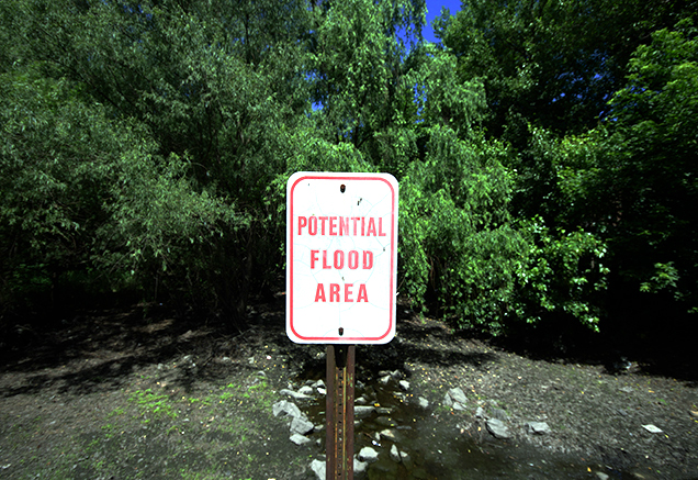
A Floodplain District is defined as the area subject to inundation in a 100-year storm from a drainage area of 30 acres or more, plus a 25-foot buffer. Because the inundated area is dependent on topography and existing features it often traverses property lines.
Any land disturbing activity (which may include temporary or permanent construction) within a Floodplain District may require a Floodplain District Permit. In some instances, the limits have already been established by methods acceptable to DPS. However, when that is not the case, a Floodplain Delineation Study must be performed. Once the 100-year floodplain is delineated by a study for the existing condition, a Floodplain Delineation Study for the proposed development condition may also be required.
A floodplain delineation study is required when there is proposed construction in or near a floodplain area that does not already have an acceptable delineation, or for which proposed activities may have an impact on a previously delineated floodplain.
In some cases, a floodplain delineation study is needed as part of the initial development approval process through M-NCPPC. At a minimum, any project that requires a floodplain district permit must have an approved floodplain study delineation before either the floodplain district permit or associated sediment control permit may be issued.
DPS reviews typically take 4 to 6 weeks from the time of submission for each review cycle. Most studies will go through two review cycles but some may require more. Factors affecting review time include project complexity and size, the number of studies to be approved per project, completeness and quality of the submissions, and staff workload.
A non-refundable filing fee must be paid at time of application per the current Land Development fee regulations.